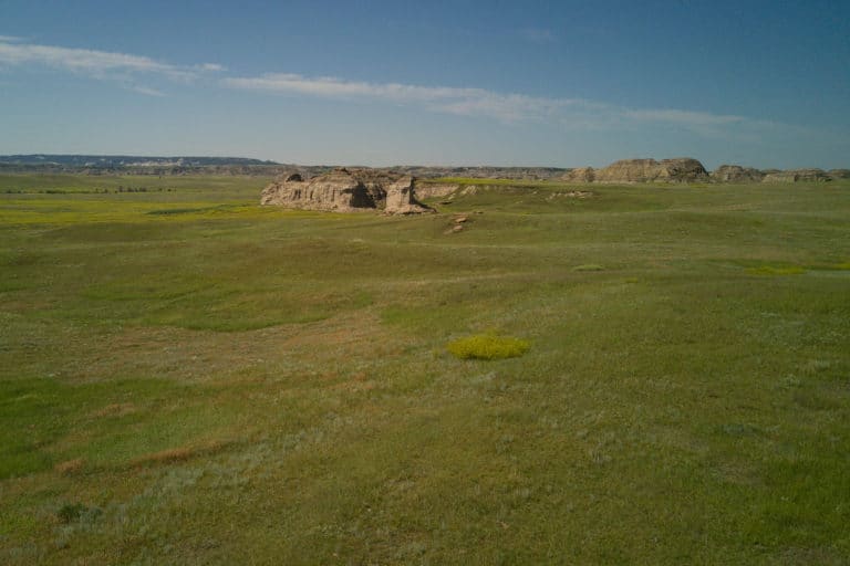
Grasslands and Shrub-Steppe
The Northern Great Plains includes large areas of intact native mixed-grass prairie and sagebrush-steppe. While much of the region is managed as rangeland for cattle, conversion to cropland is widespread across the region. Native rangelands stabilize soils and reduce erosion, store and sequester carbon, improve water filtration and aquifer storage, and provide wildlife habitat. Each of these ecosystem services are lost or significantly compromised when native prairie is converted to cropland.
According to the 2024 World Wildlife Fund’s Plowprint Report, 480,000 acres of native grasslands within the Northern Great Plains were converted to other uses in 2022 alone. This is an area twice the size of New York City.
Annual invasive grasses are also increasing in the region, leading to decreased rangeland resilience, increased vulnerability to wildfire, poor filtration capabilities, and compromised pollinator and wildlife habitat. Localized threats include Rocky Mountain juniper and eastern redcedar expansion, which change the structure of grasslands and decrease habitat suitability for ground-nesting birds.
The NGPJV has identified grassland and shrub-steppe retention, enhancement, restoration, and protection targets based on soil potential and existing land use. We also support sustainable agricultural practices for existing croplands on productive soils. Overall, our highest priority is to support producers in maintaining and managing native rangeland.

Wetland and Riparian Areas
Scattered throughout the Northern Great Plains, wetland and riparian areas support people, livestock, and wildlife alike. The quantity and quality of wetlands are influenced by annual precipitation and snowmelt, which also dictate patterns of drought. Wetlands that are shallow or only hold water temporarily are especially vulnerable to drainage and conversion to agricultural uses. Typically vegetated by trees and shrubs, riparian areas along streams and rivers are increasingly under pressure from grazing by wild and domestic animals and invasion by non-native salt cedar and Russian olive trees. A history of straightening and controlling rivers has led to deep river channels and exposed cutbanks, increased risk of downstream flooding, and degraded riparian areas.
Wetlands and riparian areas maintain vibrant communities by providing clean, available water. They also enhance recreational opportunities such as fishing, waterfowl hunting, and bird watching. Protection and restoration, along with emerging tools like low-tech beaver mimicry structures, can help maintain wetland and riparian areas by slowing erosion and runoff and keeping precious water and soil resources available for local producers, livestock, and wildlife.
Our goal is no net loss of wetlands and restoration of degraded riparian systems.
The NGPJV developed a spatial planning web tool to help producers and conservation practitioners visualize and better understand conservation opportunities and challenges. We hope that the tool will inspire the use of available conservation practices and approaches that are needed to achieve desired producer and habitat objectives. The tool focuses on the NGPJV’s five priority species: Chestnut-collared Longspur, Thick-billed Longspur, Lark Bunting, Baird’s Sparrow, and Sprague’s Pipit.
